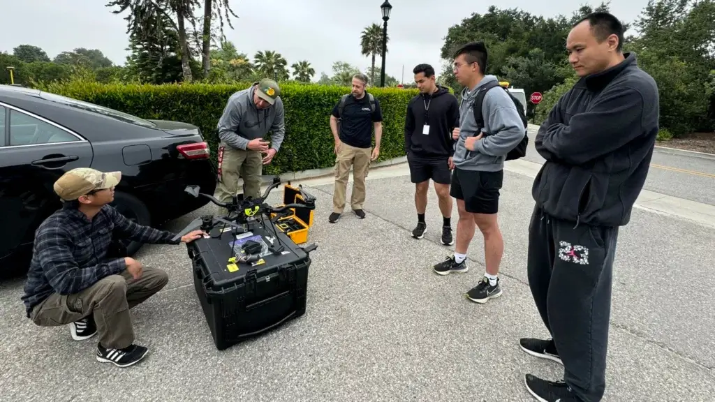
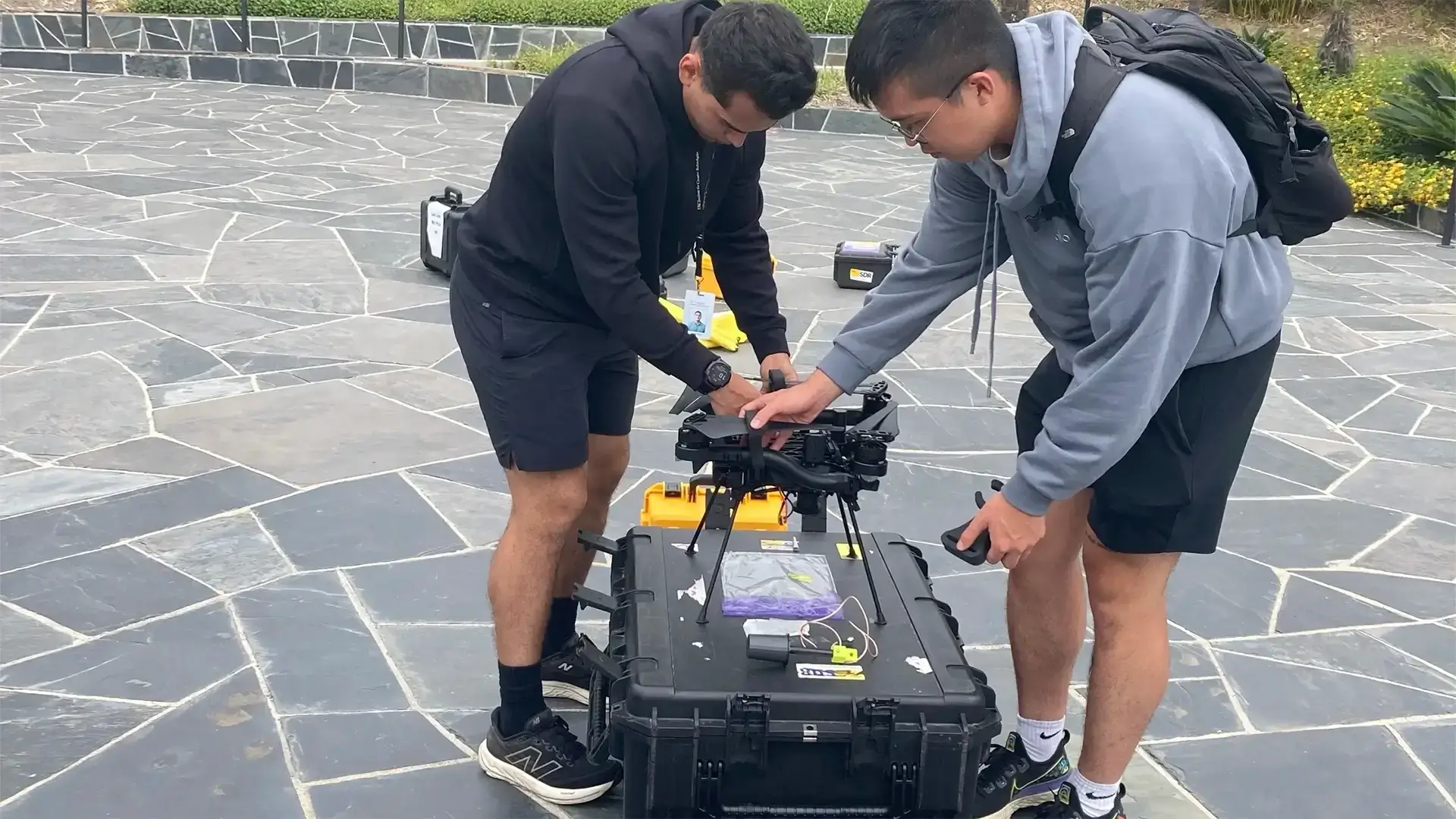
Cadets from the United States Military Academy, West Point, joined us at ICT this summer, to participate in the Academic Individual Advanced Development (AIAD) program.
This is a key portion of the institution’s “Margin of Excellence Concept” and enables cadets to perform research alongside leaders in organizations related to defense, government, policy, diplomacy, and national security, broadening cadets’ perspectives and providing them with practical advanced education related to their field of study to better understand real-world applications of security studies.
Two of the cohort, Cadet Jared West and Cadet Steven Lee worked with scientists and researchers to improve immersive media options for military training.
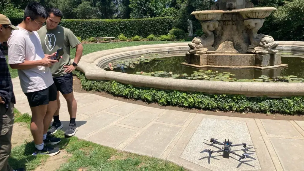
“Our team used small unmanned aerial systems to create 3D maps of local landscapes, including the Rose Bowl!” they told us.

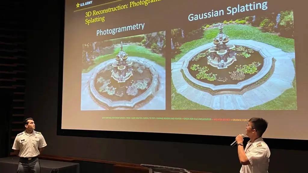
“Then we presented some of our findings to a panel of experts.”

“The objective of this research is to develop an efficient workflow for rapid data collection and 3D reconstruction,” confirmed Dr. Meida Chen, Research Scientist, ICT, who worked with the Cadets during their time here.

This is a great example of interdisciplinary research. In fact, when West Point’s Department of Geography and Environmental Engineering posted this on Instagram, we liked it so much, we asked if we could replicate it here.
//
