Modeling & Simulation
Research Lead: Kyle McCullough
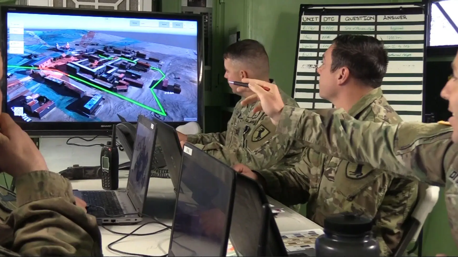
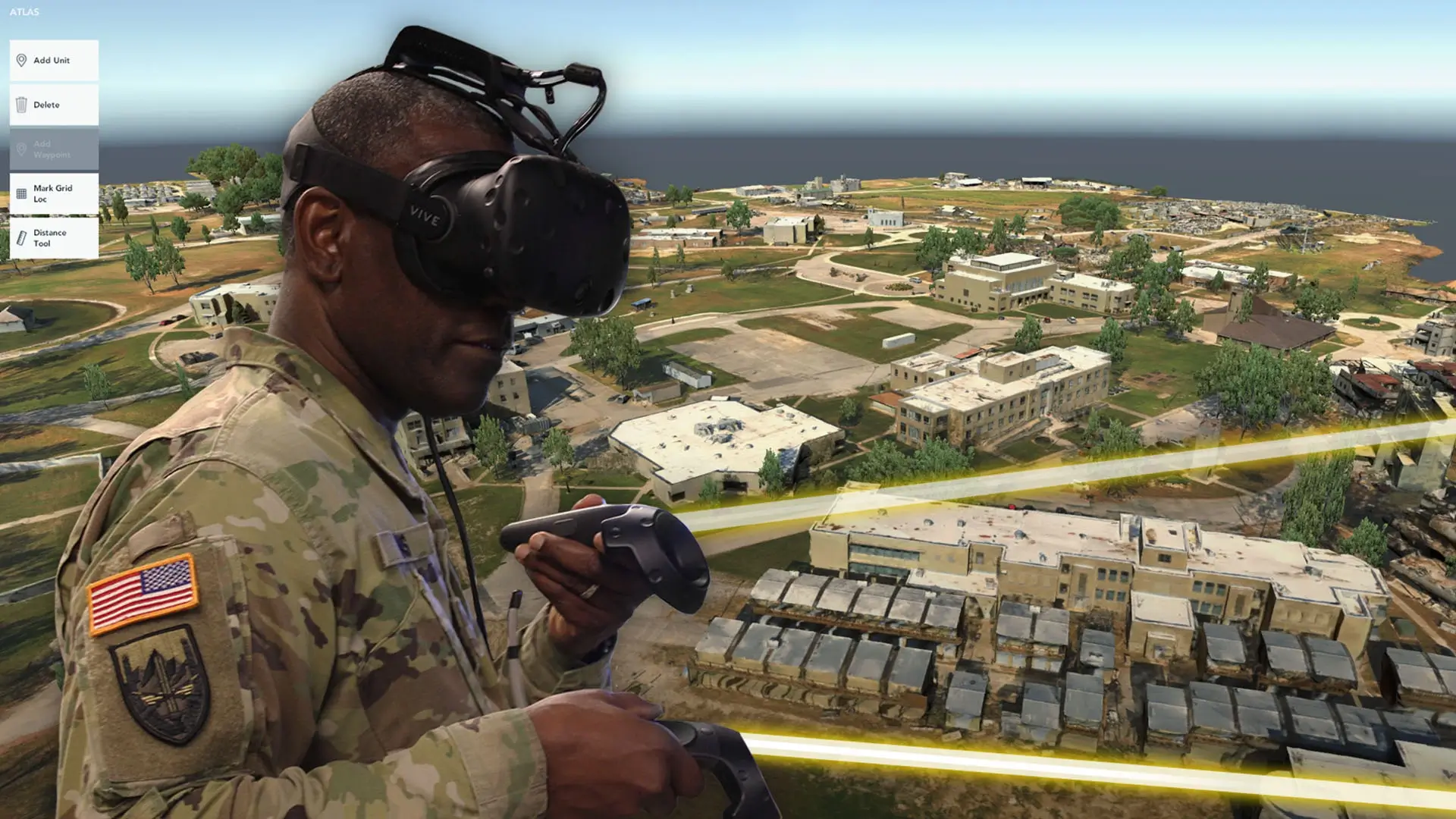
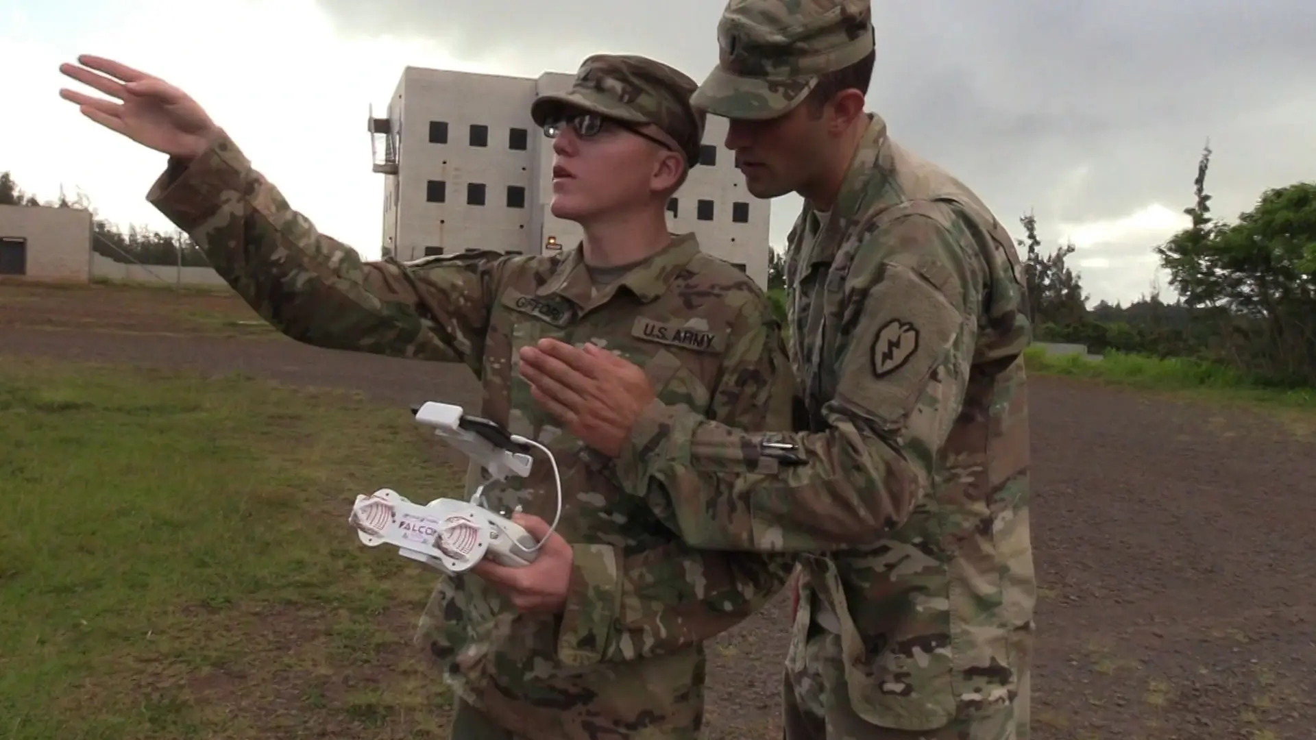
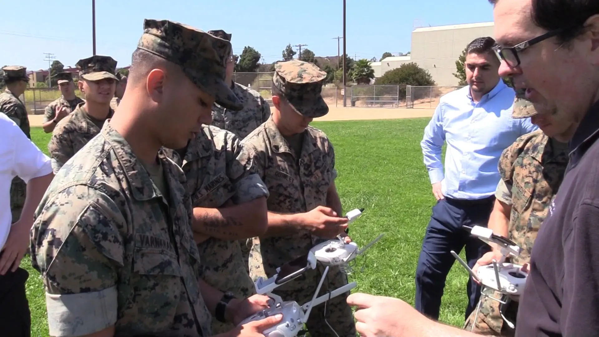
The Modeling and Simulation Group creates immersive and informative experiences that support warfighter training and operations. The group employs researchers, domain experts, creative writers, and professional game designers in order to develop content that is as engaging as it is instructive. It has successfully transitioned a number of its advanced prototypes to the DoD, including DisasterSim, a number of strategic training games for the Naval Postgraduate School, and the STPLS.
The M&S Group continues to research and develop the 3D terrain generation pipeline for the Army, Navy, and Marine Corps. It has pioneered 3D feature attribution and built the foundation for geospatial data fusion. The group has also integrated these 3D terrain generation capabilities into the RIDE rapid prototyping testbed. The M&S Group’s work in the 3D geospatial arena ensures that decision-makers have models that replicate both the coverage and complexities of operational environments.
The group collaborates with developers across academia and the DoD, to include multiple Army Cross-Functional Teams and research groups. Whether it’s applied research that informs military science and technology efforts, or advanced prototypes delivered directly to the user, the M&S Group advances the art of the possible in military modeling and simulation.
Current Projects
The Semantic Terrain Points Labeling System (STPLS +)
STPLS + is a framework that makes 3D reconstructions of real-world environments more useful for military training and simulation through automated feature attribution. STPLS + extracts semantic data (labels) and object information (attributes) in order to assign physical properties to each object in the model. This automated process allows robust user interaction with the system, meaning users can differentiate ground materials, identify window and door locations, plan movements through varying terrain, estimate the destructibility of buildings and terrain, and more.
Modernizing Terrain Generation
Working with the Office of Naval Research (ONR), this effort advances next-generation geospatial data collection and creation strategies and approaches in order to significantly reduce the time, cost, and manpower associated with generating 3D terrain for Navy and Marine Corps modeling and simulation.
3D Standards and Interoperability
In order for next-generation synthetic training to have an interoperable, engine-agnostic pipeline and platform, it must be supported by a flexible, well-formed and standards-based terrain data model. This project helps to address current gaps for this support by informing the principles and usage of such a data model through a four-phase approach of principle design, prototyping, services & tools, and usage.
Drone Data in the Unreal Engine
This project provides support and code to enable a smooth workflow from the One World Terrain (OWT) pipeline into the Unreal Engine. In particular, the project covers efforts in two discrete phases of the 5-step OWT workflow: Processing and Applications, as well as additionally offering support and training for the Collection phase of the OWT workflow.
Grid
This effort works to converge and align the 3D terrain generation workflow with the Geospatial Repository and Data Management System, or GRiD. GRiD is a set of tools hosted by the National Geospatial Agency that are executed and maintained by the US Army Corps of Engineers, Engineer Research and Development Center (ERDC). This project works to deliver enriched 3D terrain into a tactical system for management, analysis, and dissemination.