

Geospatial Terrain Research
Research Lead: Andrew Feng

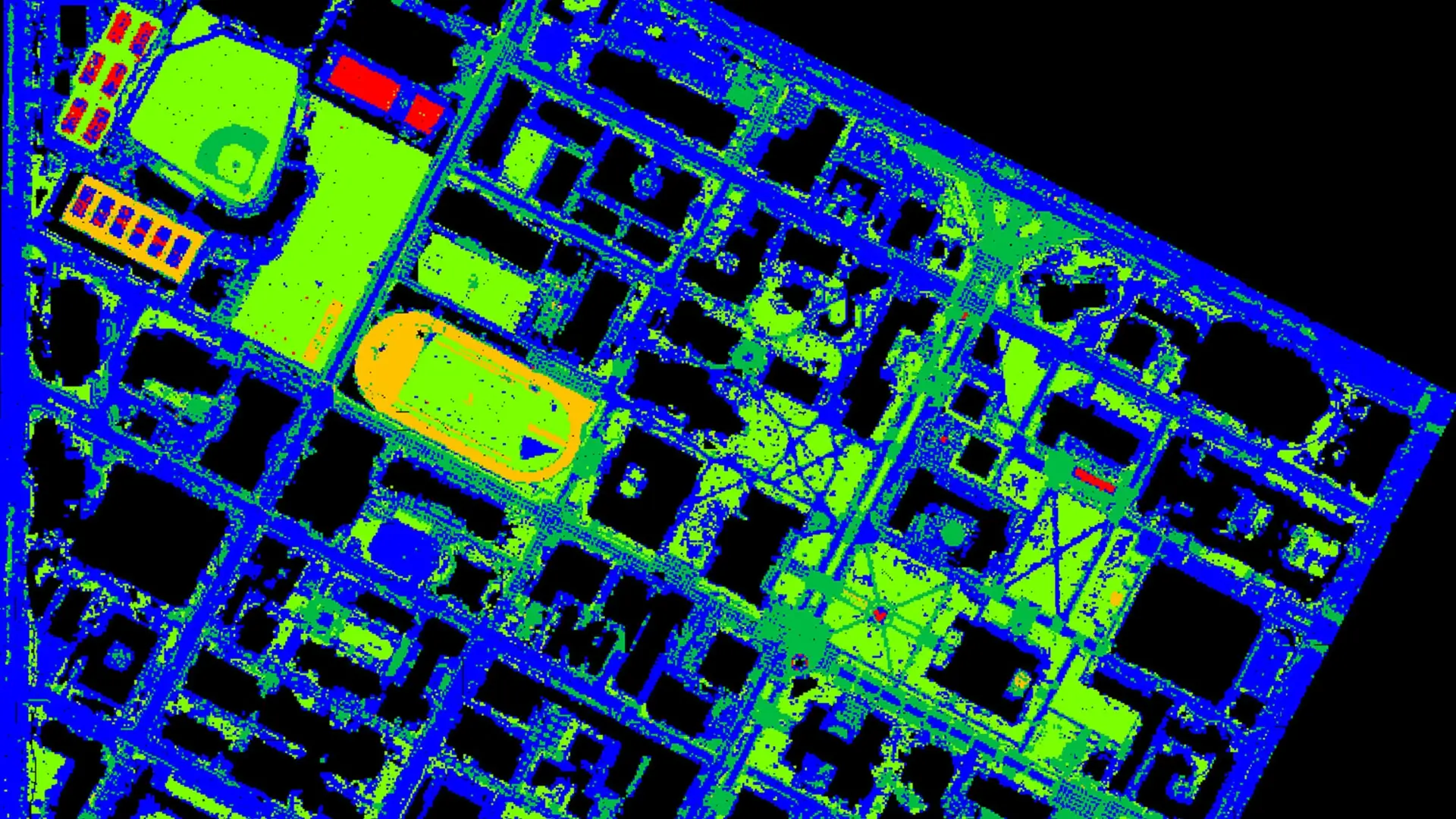
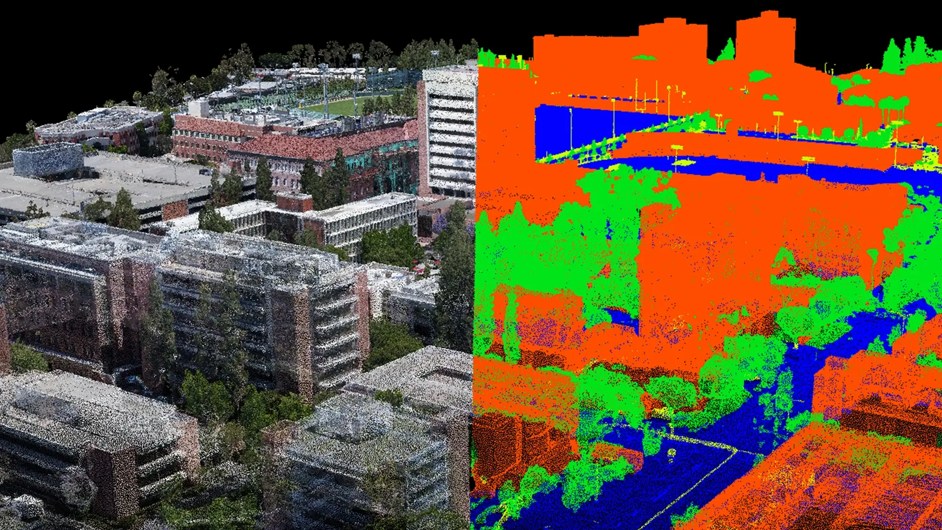
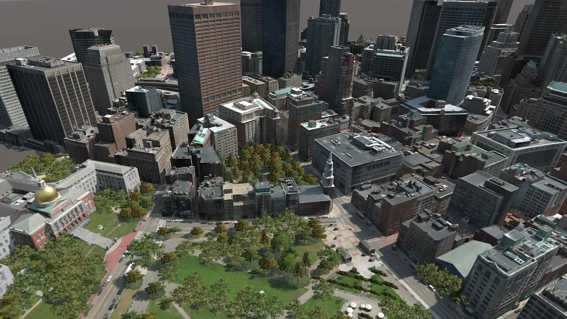
The Geospatial Terrain team develops technologies for creating and understanding high-resolution 3D representations of the physical environment. Building on more than a decade of work in terrain reconstruction and simulation, the team is expanding the use of geospatial data to support emerging needs in operational planning, navigation, autonomy, and AI.
The team has developed an end-to-end pipeline that transforms imagery and sensor collections into high-resolution, semantically attributed 3D terrain.
Recent research is advancing:
- Next-generation 3D reconstruction — using neural rendering and 3D Gaussian Splatting to create photorealistic, large-scale terrain representations more efficiently.
- AI-driven terrain understanding — using open-vocabulary and zero-shot AI models to identify objects, ground materials, and other features, and to detect and characterize terrain change over time.
- Rapid and scalable terrain generation — automating collection, georeferencing, reconstruction, and attribution to accelerate the production and updating of high-resolution geospatial data.
- Edge-deployable geospatial processing — compressing and optimizing 3D terrain representations for use on size-, weight-, and power-constrained and disconnected edge devices.
- Machine-usable 3D environments — combining realistic 3D representations with semantic information for simulation, analysis, navigation, autonomy, decision making, and AI reasoning.
These capabilities are applicable across the Department of Defense and Intelligence Community, including rapidly creating and updating 3D environments for training and mission planning, GPS/GNSS-denied navigation and autonomy, and tactical 3D GEOINT from national, commercial, and tactical imagery. Potential transition pathways include CPE ST3 / PM SIM, NGA foundational digital-twin efforts, Army PM PNT and DEVCOM, ONR, USMC TECOM / PM TRASYS Project Tripoli, Army TENCAP / TITAN, and ERDC’s Geospatial Research Laboratory (GRL) and Cold Regions Research and Engineering Laboratory (CRREL).
ICT has produced 3D terrain reconstructions from UAV collections at more than 100 sites in support of U.S. Army terrain research. ICT’s semantic terrain processing algorithms are also integrated into the Army’s One World Server (OWS), generating simulation-ready high-resolution 3D terrain for applications including line-of-sight analysis, path finding, terrain effects, and concealment analysis.
Building on this foundation, the team is pursuing new research directions, including monitoring terrain change affecting infrastructure; detecting and characterizing objects for counter-UAS and space domain awareness; and developing terrain representations for low-bandwidth and constrained environments. Across these efforts, the goal is to make geospatial information faster to create and update, richer in actionable information, and easier to transition into operational systems.